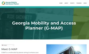
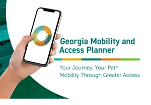
Georgia Mobility and Access Planner
Your journey, your path – mobility through greater access
The Georgia Department of Transportation (GDOT)'s Georgia Mobility and Access Planner (G-MAP) is an integrated mobile trip planning application with indoor and outdoor pedestrian navigation features in Gwinnett County, Georgia.
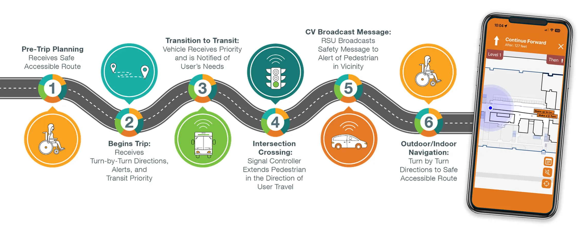
How it Works

Features and Benefits
- Customized Trip Preferences — Pre-trip planning based on needs and preferences.
- Transit Signal Priority — Notification of accommodations and needs for boarding.
- Turn-by-turn Directions — Provides support services if needed.
- Intersection Crossing — Interaction with signal controller and provides additional crossing time if needed.
- CV Broadcast Message — Provides communication to enabled connected vehicles to make them aware of the traveler's presence.
- Outdoor/Indoor Navigation — Provides the traveler with hands-free indoor (at two county facilities) and outdoor navigation via G-MAP and/or wearables and accessible channels (haptic, voice, text).