About
The Intelligent Transportations Systems Joint Program Office (ITS JPO)
OUR VISION:
Accelerate the use of ITS to transform the way society moves.
OUR MISSION:
Lead collaborative and innovative research, development, and implementation of ITS to improve the safety and mobility of people and goods.
Planning for the Future of ITS
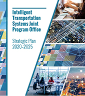
The ITS Joint Program Officeís 2020-2025 ITS Strategic Plan
About ITS JPO

Current Research
The U.S. Department of Transportationís ITS research focuses on several high-priority areas including Emerging and Enabling Technologies, Data Access and Exchanges, ITS Cybersecurity Research, Automation, ITS4US, and Accelerating ITS Deployment. The ITS Strategic Plan includes in-depth discussion of the ITS Programís strategic goals, these research areas, and four technology transfer programs.
Learn more in the 2020-2025 ITS Strategic Plan.
Research Areas

Intelligent Transportation Systems Deployment
| Connected Vehicle Pilots | ||
|
View NYCDOT pilot |
View THEA pilot |
View WYDOT pilot |
ITS Deployment
- ITS4US
- Vehicle-to-Infrastructure Resources
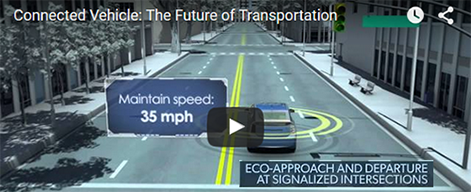
- Connected Vehicle Pilots
- Connected Vehicle News and Events
- Connected Vehicle Deployer Resources
- Connected Vehicle Deployment Assistance
- Connected Vehicle Applications
- Sample Deployment Concepts
- Connected Vehicle Publications
- National ITS Architecture
- Smart City Challenge

Technology Transfer
  |
  |
Technology Transfer

Contact Us

Social Media
Research Archive
- Safety
- Vehicle-to-Vehicle (V2V) Communications for Safety
- Truck V2V Research
- Transit V2V Research
- Connected Vehicle Safety Pilot
- Vehicle-to-Infrastructure (V2I) Communications for Safety
- Truck V2I Research/Smart Roadside
- Transit V2I Research
- Connected Vehicle Safety for Rail
- Vehicle-to-Pedestrian (V2P) Communications for Safety
- Ann Arbor Connected Vehicle Test Environment (AACVTE)
- Mobility
- Environment
- Road Weather
- Policy
- Connected Vehicle Technology
- CV Pilots Deployment Project
- Automated Vehicle
- Intermodal
- Exploratory
- ITS Cross-Cutting Support
- Success Stories
- Clarus
- Commercial Vehicle Information Systems and Networks (CVISN) Core and Expanded Deployment Program
- Congestion Initiative
- Cooperative Intersection Collision Avoidance Systems (CICAS)
- Electronic Freight Management
- Emergency Transportation Operations (ETO)
- Integrated Vehicle-Based Safety Systems (IVBSS)
- Intelligent and Efficient Border Crossings
- Mobility Services for All Americans (MSAA)
- Next-Generation 9-1-1
- Rural Safety Initiative
- Vehicle Infrastructure Integration

Electronic Freight Management (EFM)
Freight Process/Supply Chain Mapping
Prior work led by the FHWA Office of Freight Management and Operations (HOFM) and the Intermodal Freight Technology Workgroup (IFTWG), convened by HOFM, has produced a baseline "map" of the intermodal freight flows, which includes business processes and information exchange. This map (actually a suite of electronic data files) has generated a variety of interest for its current or potential abilities to, for example, document business processes or identifying freight handoff points. It is a necessary tool to enable the systematic analysis of the processes about which standards are being developed, and as such it bolsters HOFM's ability to usher standards into practice. The map will also identify gaps in the hand-off points that are potential vulnerability gaps in the supply chain. As such, the map also serves as a tool for developing security countermeasures. HOFM will facilitate and document the definition of requirements, develop content, and disseminate a final product.
The business objectives for developing the freight process map will be reassessed and documented. Functional extensions will be considered, based on the stated objectives and level of committed interest shown from potential users. These extensions are expected to include:
- Incorporation of various security-oriented requirements, such as adding a temporal dimension and documenting in more detail the handoff points of freight between elements of the supply chain.
- Expanding the current "generic" business process or information exchange flows to incorporate specific trade lanes that exhibit significant differences related to information flow or physical movement of freight.
- Inclusion of notations of relevant data standards along the information exchange flows
- Inclusion of the air mode in a multi-modal supply chain.
Improved representation of international freight movements to make the map and its uses as a tool portable.
1200 New Jersey Avenue, SE • Washington, DC 20590 • 800.853.1351


